Bus Only Lane Installed On Pine Street
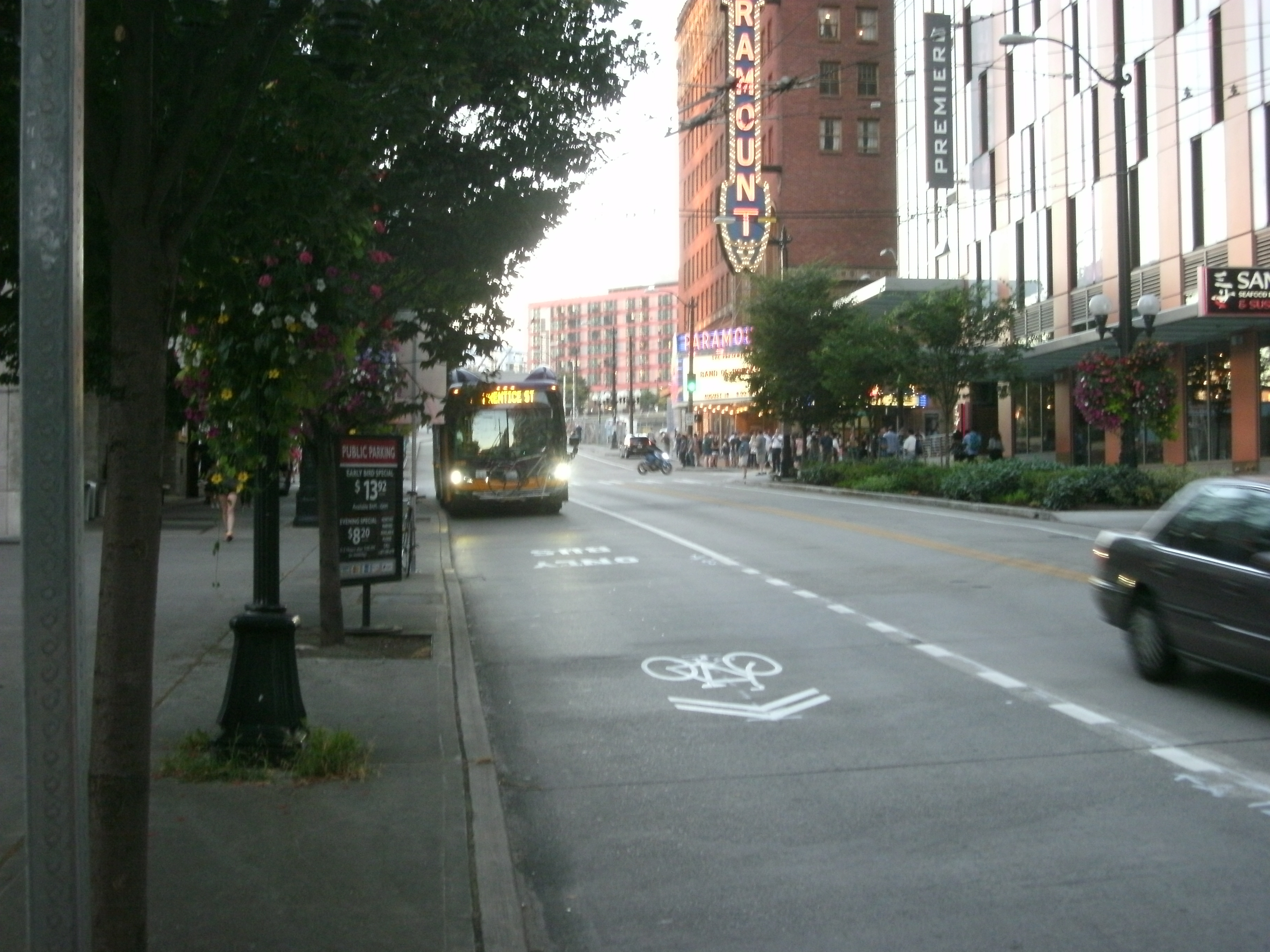
The Seattle Department of Transportation (SDOT) has implemented a change on Pine Street this week that we first wrote about back in October. The...
The Rise Of Roundabouts: Safer For All
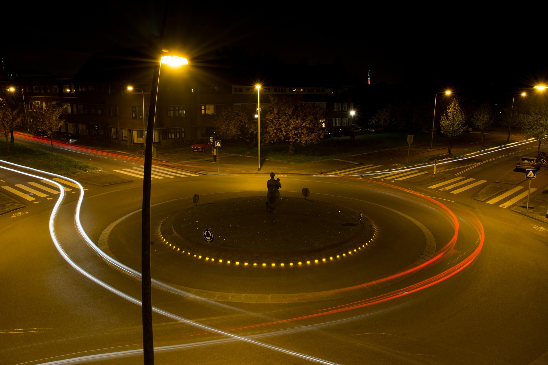
Washington State is paving the way for other states on many important issues, including healthcare, worker pay, development and traffic safety. The rest of...
39th Ave NE Greenway Improvements Wrapping Up In 2016
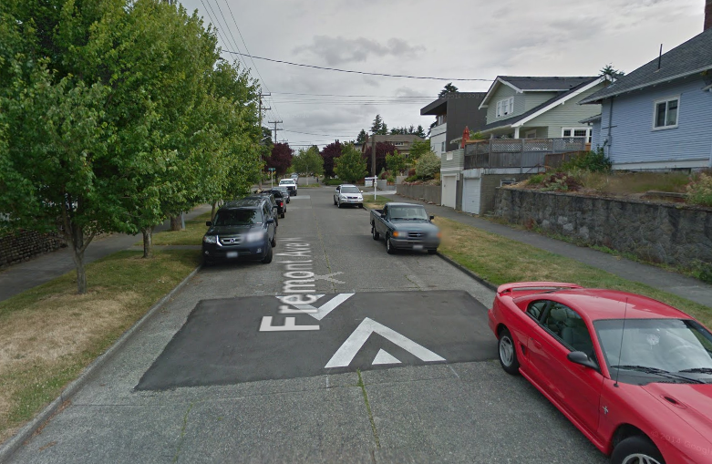
The Seattle Department of Transportation (SDOT) is wrapping up some major Greenway improvements in Northeast Seattle. Stretching from the Burke-Gilman Trail in Bryant to NE 89th St...
Care About Madison Bus Rapid Transit (BRT)?
Here’s what to look for when you provide comments at the final Seattle Department of Transportation (SDOT) online before August 16th.
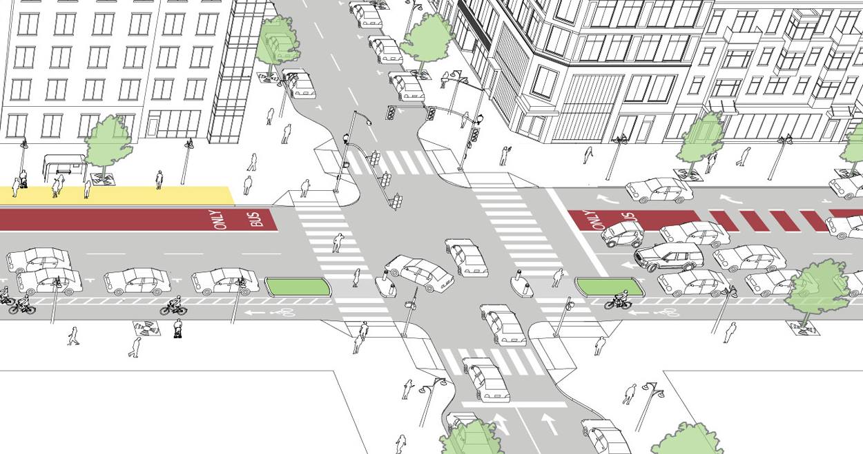
Madison BRT is intended as...
Event Notice: Join Urban Transit Advocates For A Multi-Modal Meetup
How can Seattle's transit, walking, and biking advocates work together to create a safe and reliable transportation system?
The Move Seattle levy promised to implement...
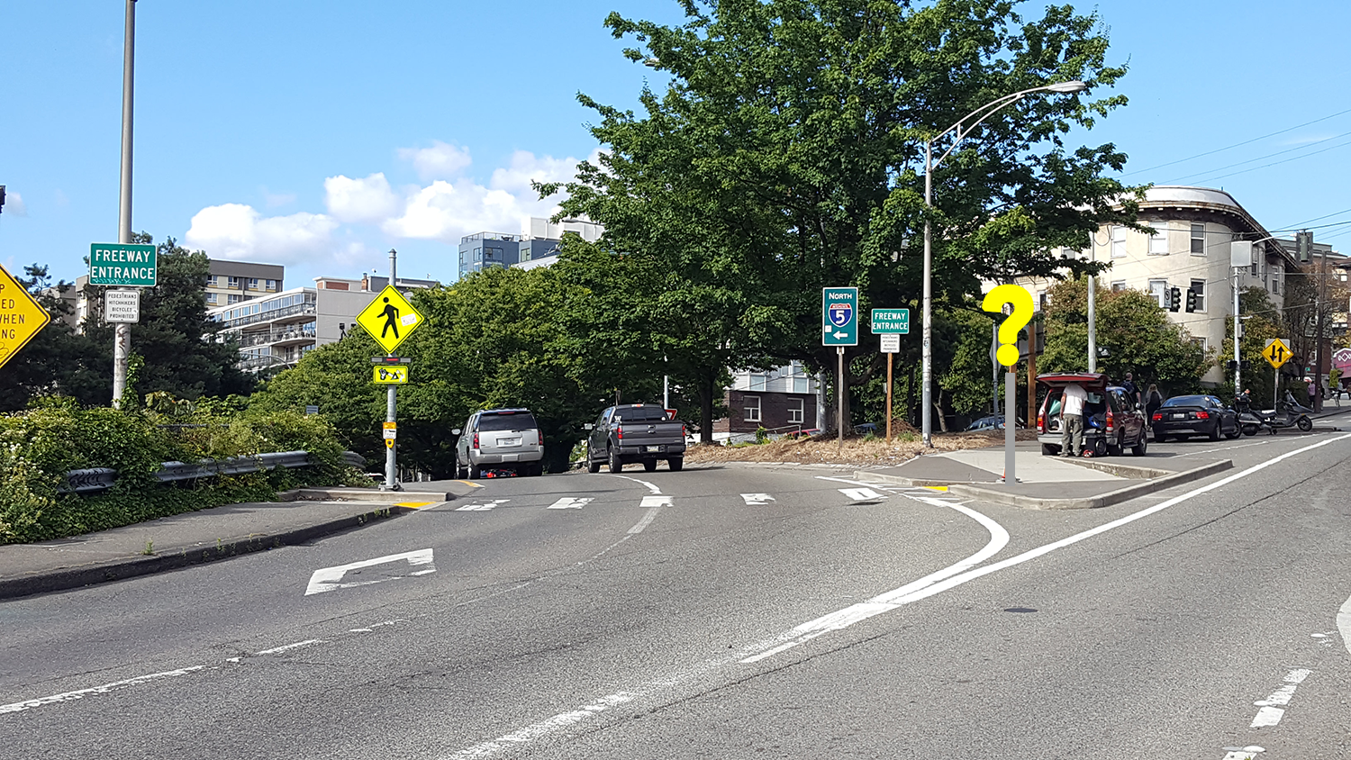
Whose Sign Is It, Anyway?
As a commuter moving up and down Olive Way every day, I always notice when something changes on the street. And on the morning...
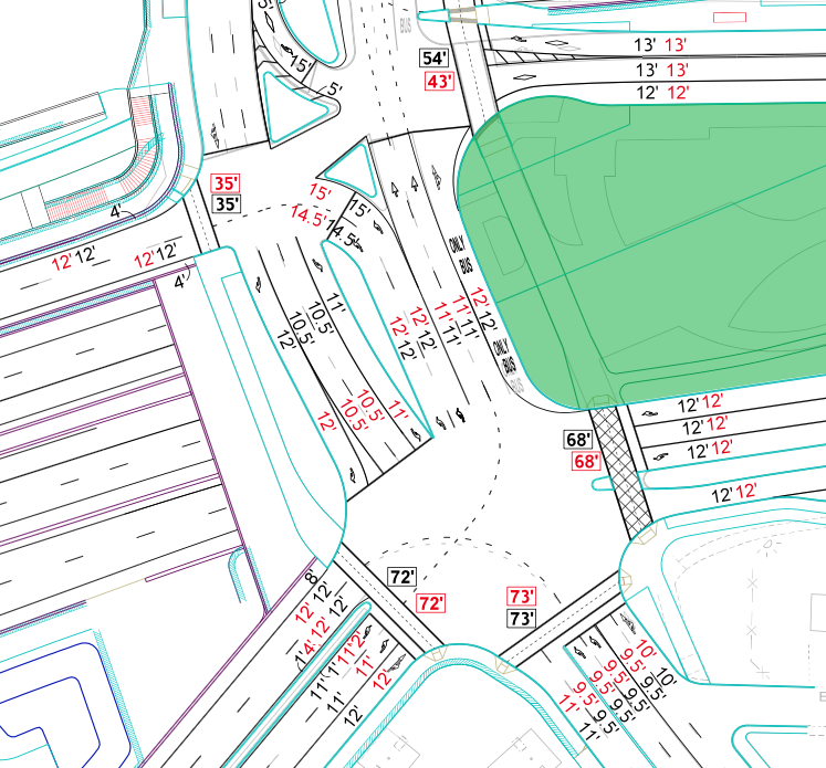
Meet Your New Montlake Boulevard
The new 520 bridge is now open to cars, but the Seattle side of the project is still a long way from completion. Pedestrians...
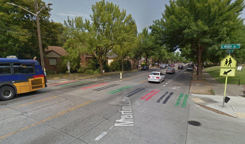
Central District Community Crosswalks Coming Soon
Last year, residents in the Central District spray painted four crosswalks in Pan-African flag colors on the heels of nearly a dozen Capitol Hill crosswalks getting...


