Map of the Week: Seattle’s Interactive MHA Rezone Map
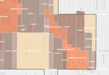
The Seattle Office of Planning and Community Development (OPCD) has launched an interactive map to see where each draft Mandatory Housing Affordability (MHA) rezone is...
Map Of The Week: Seattle Winter Weather Response Map
The Seattle Department of Transportation (SDOT) has published their 2016-2017 Winter Weather Response Map, which shows corridors that will plow during snow and ice...
Map Of The Week: Angle Lake Zoning Map
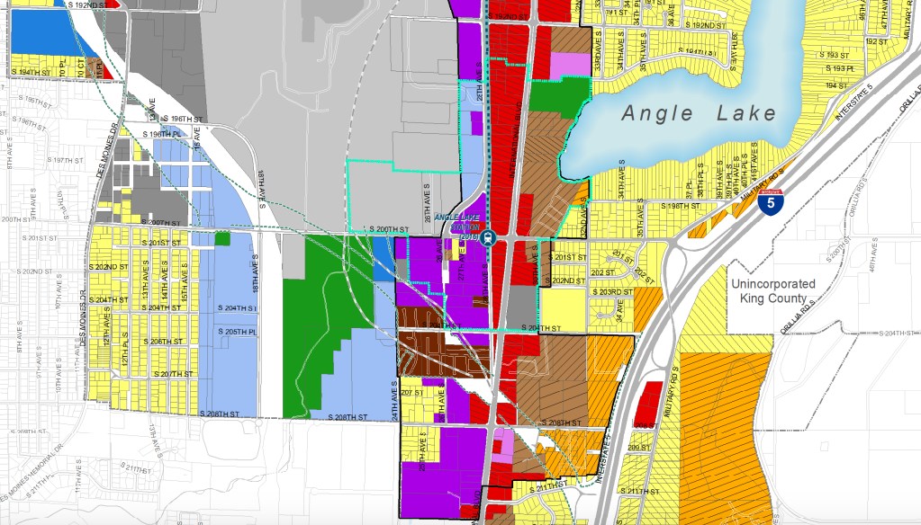
I was going to include a SeaTac zoning map in my story on the Angle Lake Station—which opens later this month. Unfortunately, the SeaTac...
Map of the Week: Google Maps Areas Of Interest
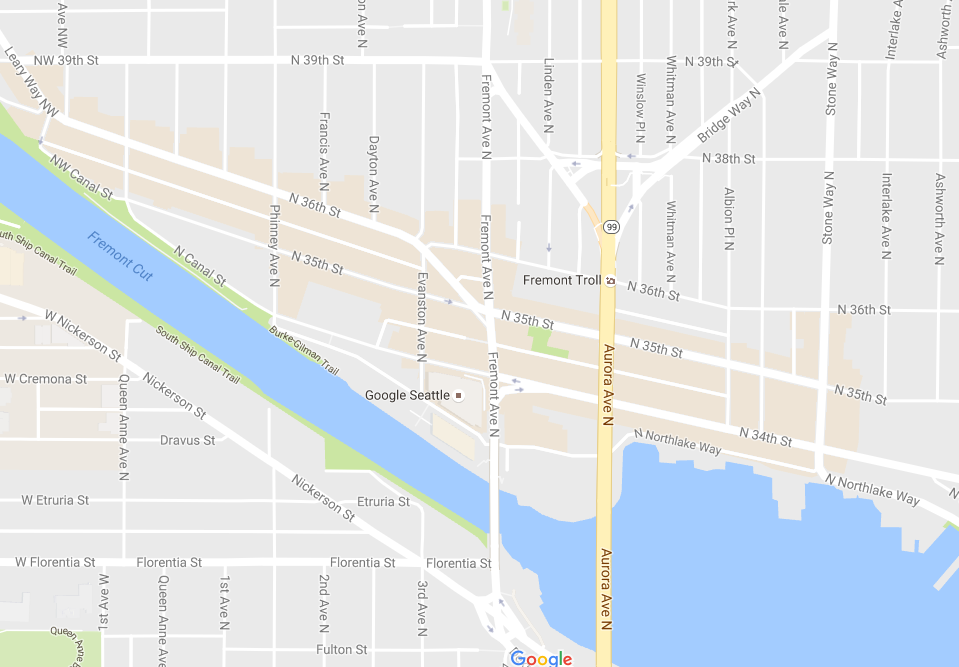
At this point, Google Maps has positioned itself as the most widely used map engine for everyday searching and sharing of information. To keep...
Map Of The Week: Ballard Building Inventory
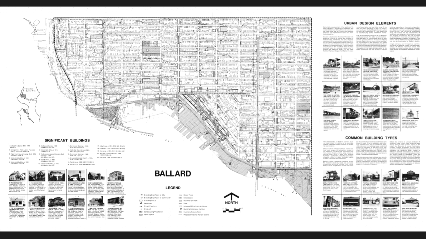
The Ballard Historical Society has completed their crowd sourced, street inventory of Ballard buildings built before 1965. The survey area extends from 8th Ave NW to the...
Mapping Historic Ballard Grand Reveal Today
It's been a long haul since the November kick-off, but wait until you see what over a hundred volunteers mapped over 1,000+ hours and what...
Map Of The Week: Density Of Storefronts In Seattle
Storefront establishments form the bedrock upon which successful urban, walkable communities are built. Seattle happens to be one American city well known for its tightly-knit...
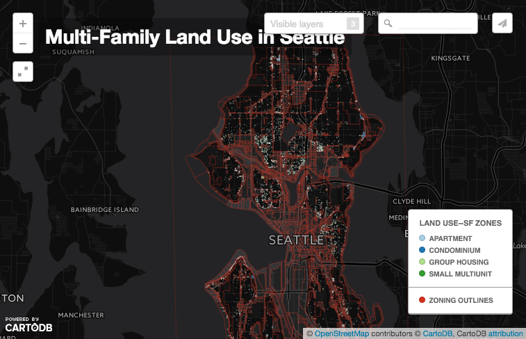
Map Of The Week: Multi-Family Housing In Single-Family Areas
Have you ever walked around a single-family residential area in Seattle and come across a duplex, triplex, or apartment building that seemed just a...

