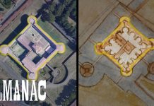
Sunday Video: How Leonardo da Vinci Made a “Satellite” Map in 1502
https://youtu.be/2gEwEcYnewE
Long before satellite was invented, Leonardo da Vinci made highly accurate maps mimicking the above view plan commonly found in satellite-based maps.
The Urbanist’s Greatest Hits of 2018
I'm proud of the work our team of volunteer writers produced in 2018. We covered Seattle urbanism and politics with nuance and depth, offering...
Map of the Week: Delhi’s Rapid Rail Rollout
India's capital of Delhi is a booming metropolis of 25 million people known for its heavy pollution and congested, chaotic streets. However, in the...
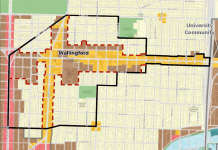
Urban Village Boundary Contractions? No Thanks.
In my Sightline piece from May, I described how homeowners in Wallingford have worked for decades to block housing via downzones, increasing development burdens, and...
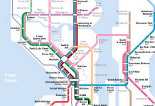
Seattle Subway Drops New Expansion Map Hoping to Guide ST3 Alignments
Seattle Subway released a new light rail system expansion map yesterday and hopes to use it to inspire Sound Transit and the general public...
Sound Transit Unveils West Seattle and Ballard Alternatives
On Tuesday night, Sound Transit presented its first crack at alternative corridor alignments for the West Seattle and Ballard light rail extensions. The Stakeholder...
Map of the Week: Montréal Metro
After the megalopolises of New York and Mexico City, the next highest ridership Metro system in North America may surprise you. It's not Chicago...
Map of the Week: West Seattle and Ballard Conceptual Alignments
Last week, Sound Transit formally kicked off its scoping process or the West Seattle and Ballard light rail extensions. The process is important because it will...


