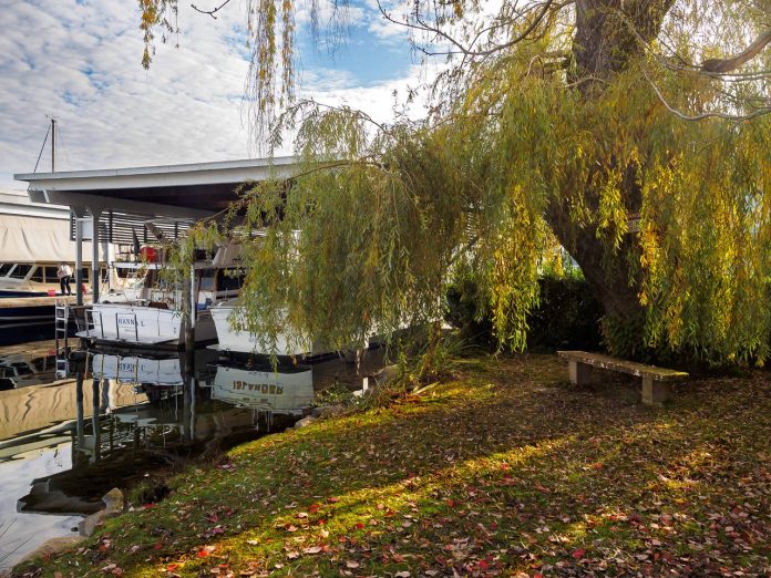
Today we will visit four incredible ready-to-visit street ends on Union and Portage Bay. In previous posts, we have looked at street ends around West Seattle, South Ship Canal, from Ballard to Fremont, from Fremont to Portage Bay, as well as the Duwamish Waterway.
For those new to this series, a little background on Seattle’s Shoreline Street Ends is helpful. Because Seattle is bounded and divided by numerous fresh and salt bodies of water the city has what are called ‘street ends’ — streets that end when they encounter a water body and are unable to continue, sometimes resulting in mini-parks or recreational spaces. There are hundreds of such occurrences – almost as many as there are east-west and north-south streets.
Many of them, 141 to be exact, are part of a Seattle Department of Transportation (SDOT) program called Shoreline Street Ends. The program’s goals are to:
- Help create great neighborhoods;
- Improve public access to and enjoyment of Seattle’s shoreline;
- Enhance shoreline habitat;
- Encourage community stewardship of shoreline Street Ends;
- Support maritime industry, and
- Responsibly manage private permits and deter non-permitted encroachments.
A little over half of the 141 street ends are defined by SDOT as “worth a visit,” while the remainder are either “not yet ready for visitors” or have “no public access.” Street ends are concentrated along the Ship Canal and Lake Washington, but also occur along each of the city’s other shorelines. Working with the city and neighborhoods to secure funding, pass legislation, and organize work parties, the non-profit and all-volunteer Friends of Street Ends help ensure Seattle’s accessible street ends grow in number and those already serving visitors continue to thrive.
Shoreline Street Ends vary in character from sandy beaches to docks wedged amongst shipyards and industrial uses. They are spacious and they are compact, and most are very easy to find. They support habitat for native species of flora and fauna and are convenient places to launch a kayak, sailboat, or motorboat. Oftentimes, they are adjacent to waterfront parks, expanding upon those assets. They are as varied as Seattle’s topography, and you can visit them any time.
Cycling is the best way to visit Seattle’s shoreline street ends. Many are accessed from low-traffic streets or bike paths.
*****
Bodies of water have a strange attraction. The flatness of their surface and the unobscured view to the horizon they provide are counterpoints to both our built and natural, terrestrial landscapes. They capture us and transport us, as land-bound beings, to an alien realm, where the mind, captured by the distant view, can explore new terrain, or familiar terrain from a fresh vantage and from within a new frame, and the variable vegetated and improved street ends on Portage Bay offer these experiences as good as any shoreline in Seattle.
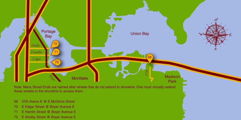
*****
Street End #68: ‘Beaver Lodge Sanctuary’
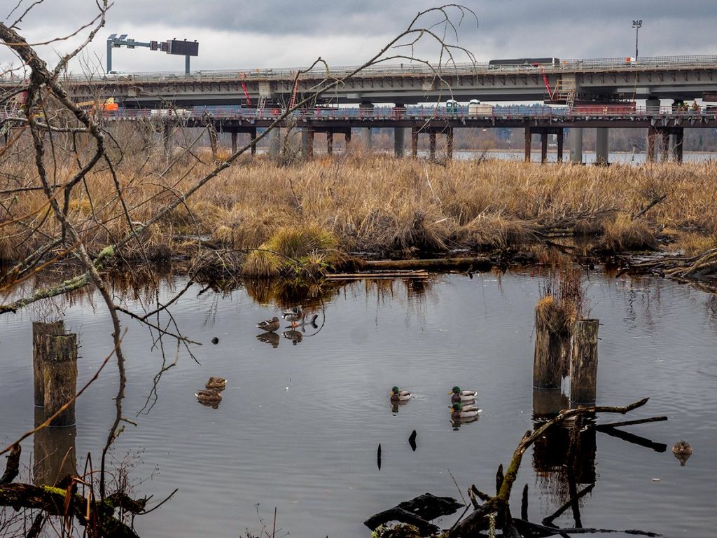
Street End #68, the so-called ‘Beaver Lodge Sanctuary,’ offers board vistas of not only delicate, transitional habitats but also of the engineering prowess required to serve a major city. Perhaps the largest of the street ends, it includes a long pathway and other site enhancements that make it unique within the system. Relative to other publicly accessible street ends it is a loner, making it a respite from the urbanity that surrounds it.
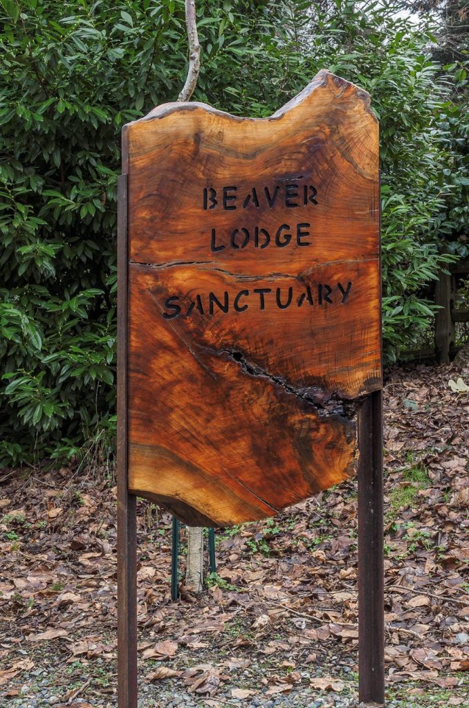
Unusual for a Street End, there is a sign (made by the late furniture maker Gene Brandzel, who also led the habitat restoration efforts) announcing you have arrived at this magical realm of contrasting environments.
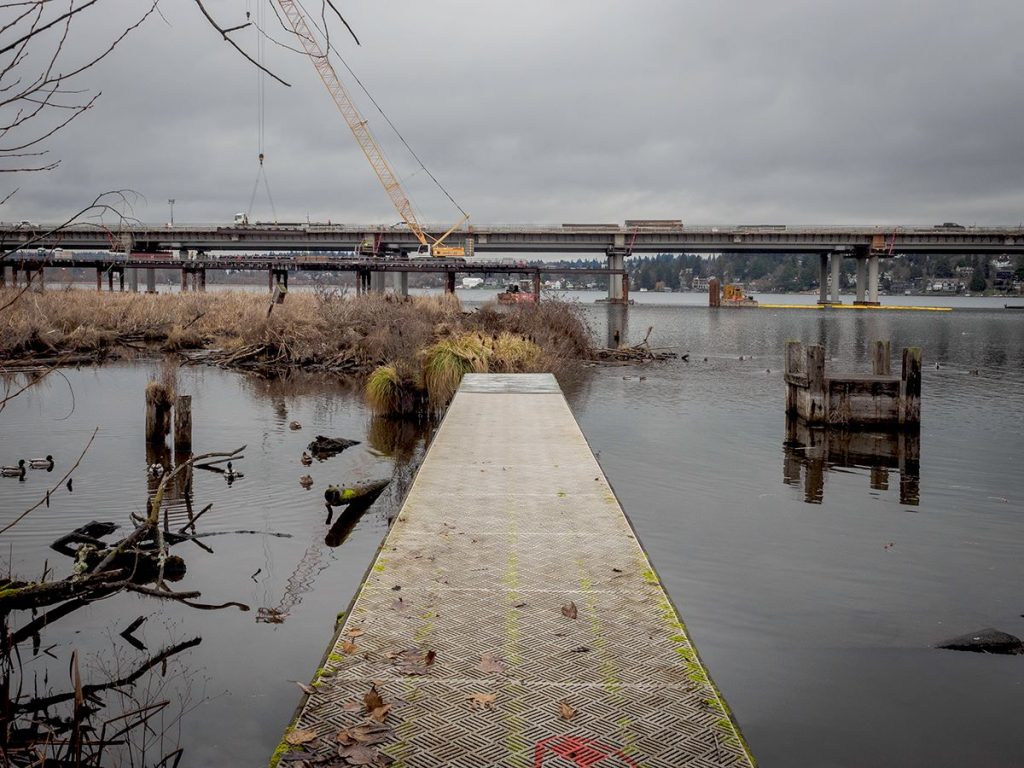
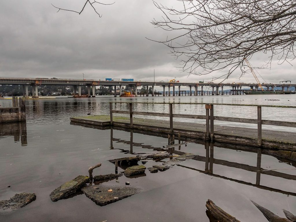
Also unusual is a dock that improves access to Lake Washington. It is a trestle owned by Seattle Public Utilities (SPU) supporting a SPU drainage pipe slung underneath the structure, and was replaced after this image was taken.
State Route 520 is the longest and widest permanent floating bridge in the world, with an almost 1.5-mile-long (floating) span. The private dock in the foreground is a much more humble structure and a foil to 520’s prowess.
*****
Street End #70: E Edgar Street
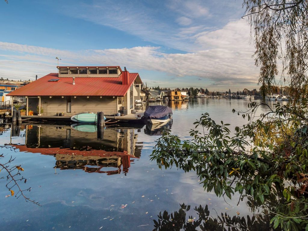
Happening in three consecutive blocks, the Portage Bay street ends offer striking contrasts in their individual qualities and vary from easy to access to requiring just a bit of adventurousness. All provide views to one of the most intimate and lovely shorelines in the city.
E Edgar Street End (#70) has one of the most manicured and lengthiest access ways – as if one were trespassing on the front lawn of the neighboring Queen City Yacht Club; don’t be fooled, it is all in the public right of way. One can’t help but think this is an example of exemplary stewardship benefiting public access by a private neighboring property.
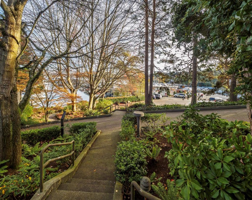
A generous lighted stairway lighting leads on to the shoreline. This staircase was developed by the northern property owner and was a City imposed development requirement for public benefit.
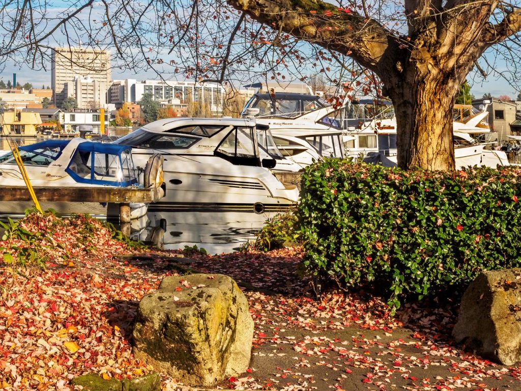
Most of the trees on street ends are deciduous and therefore provide a resplendent display of fall color while the newly bare branches afford a view to the distant UW campus.
*****
Street End #71 – E Hamlin Street
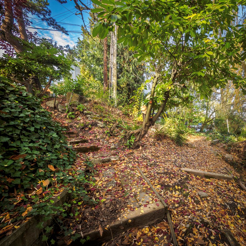
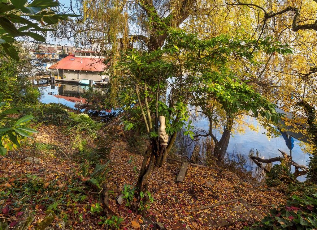
Street End #71, E Hamlin, requires pluck to appreciate its qualities – the hillside to the lake renders unsure footing; the stairs are a bit past their useful life.
*****
Street End #72: E Shelby Street
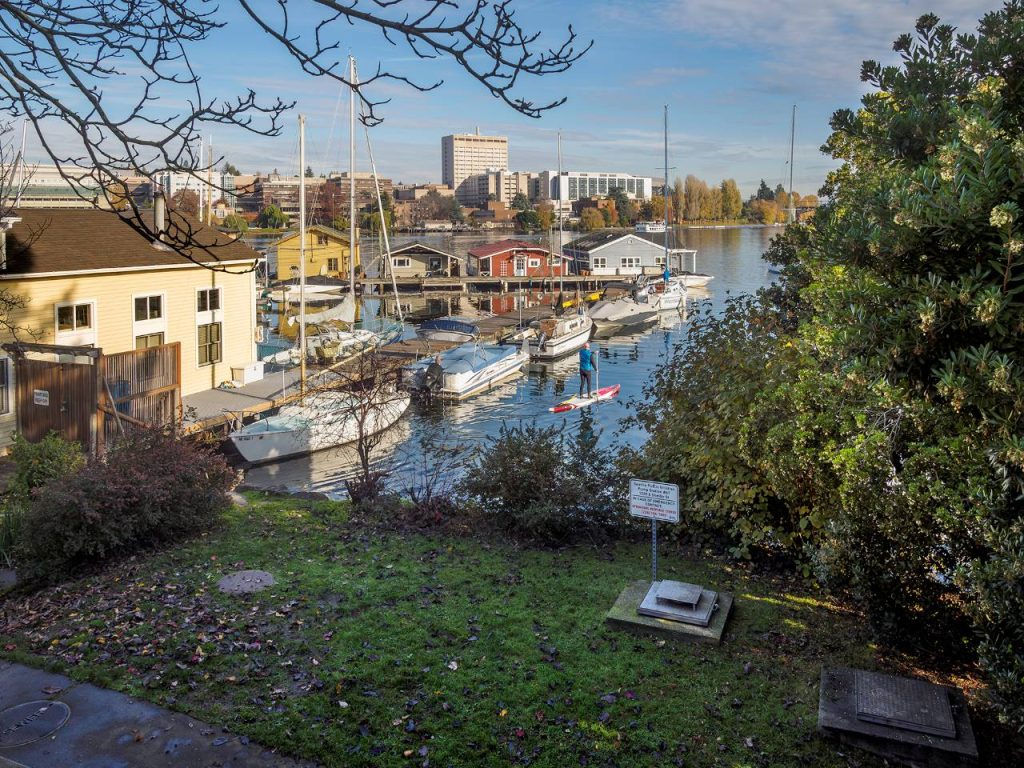
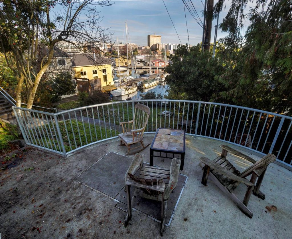
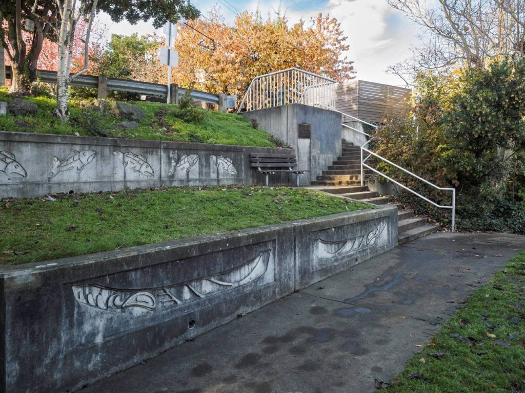
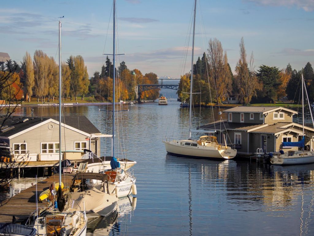
Street End #72, E Shelby Street, is an exemplary street end in every way. It has generous seating, engaging public art, easy water access, and offers some of the best views in the city – shoreline or otherwise. We can thank Seattle Public Utilities for giving us a gracious piece of stormwater infrastructure.

John Feit (Guest Contributor)
John Feit lives on Capitol Hill in Seattle, and volunteers with Friends of Street Ends, Lid I-5, and the Pike|Pine Urban Neighborhood Council (PPUNC).
