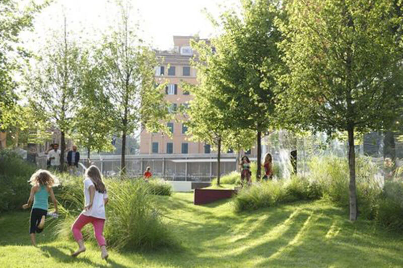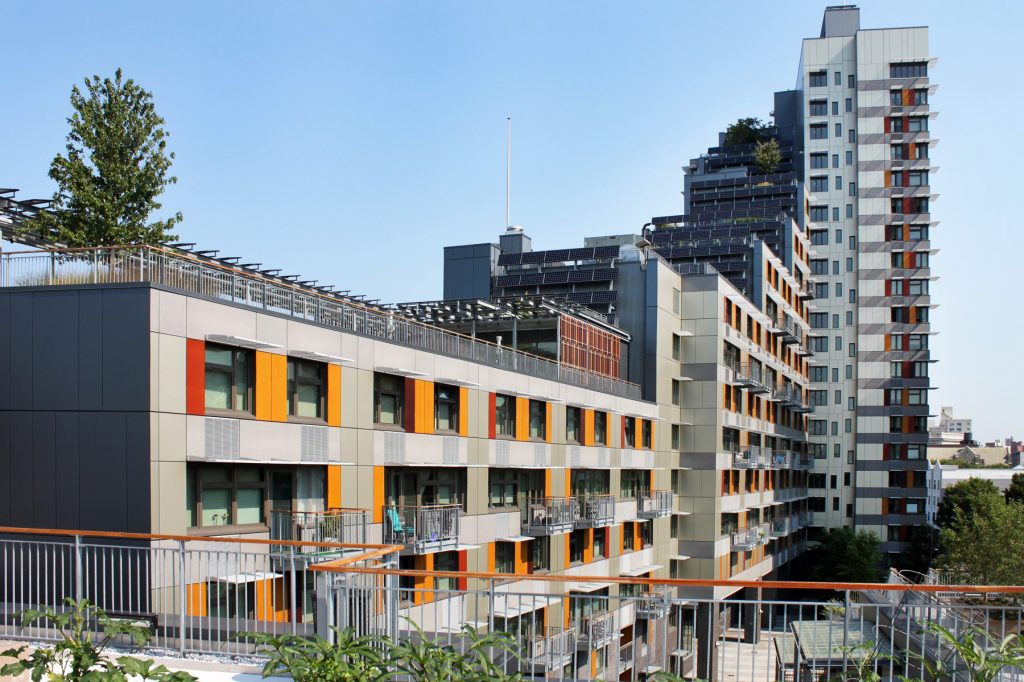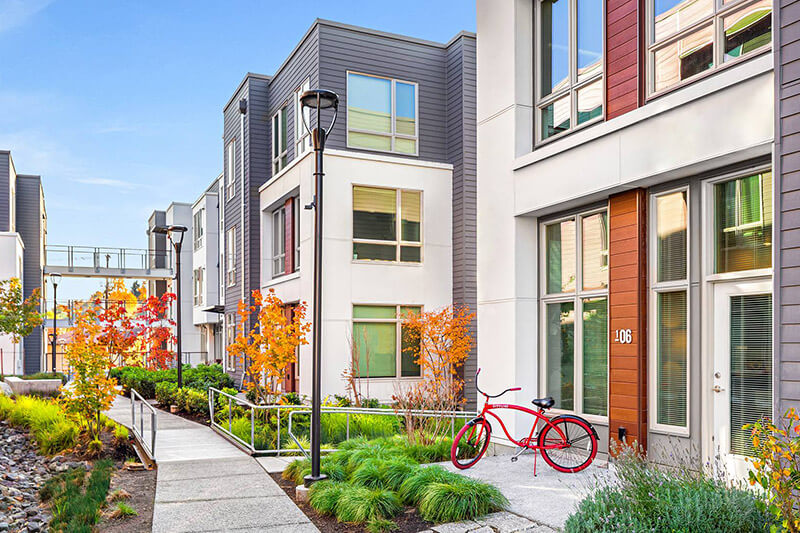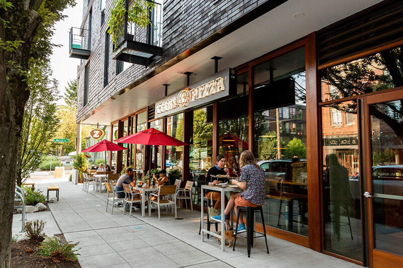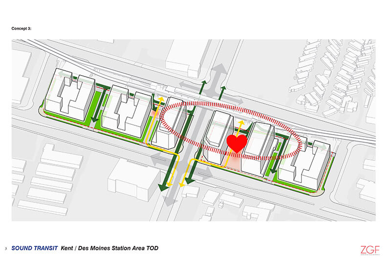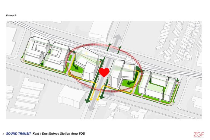
Two surplus lots are up for redevelopment at the future Kent/Des Moines Station. Sound Transit has about four acres of land that it wants to infill with transit-oriented development (TOD), but how that will happen is still up for a debate. The agency is sharing some development concepts and seeking additional feedback on development priorities in a second outreach phase.
What Sound Transit’s heard and seeking feedback on
TOD priorities from this process will be critically important in determining how the two sites will be used. That’s because Sound Transit intends to use those as a basis for development requirements that bidders will need to satisfy when the agency makes a formal call for Request for Proposals. Right now, the two sites are being used as storage for construction equipment and construction field offices.
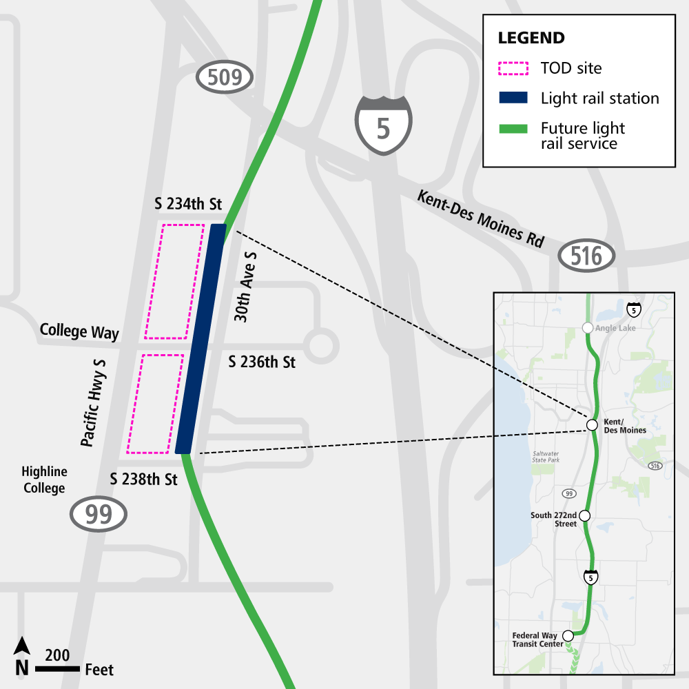
Sound Transit reports that they have heard four key priorities from the community, which include a desire to:
- “Build a safe, accessible and family-friendly station area that celebrates the diversity of the surrounding community;”
- “Provide a mix of affordable housing styles and retail services for people who have a range of incomes;”
- “Improve walking, biking and other modes of accessibility to and from the TOD site, light rail station, and broad community for people of all ages and abilities;” and
- “Provide space opportunities for small-scale businesses and retailers.”
Now the agency wants feedback in five areas: public and active spaces, green space, affordable housing, retail and business spaces, and other community spaces.
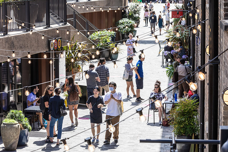
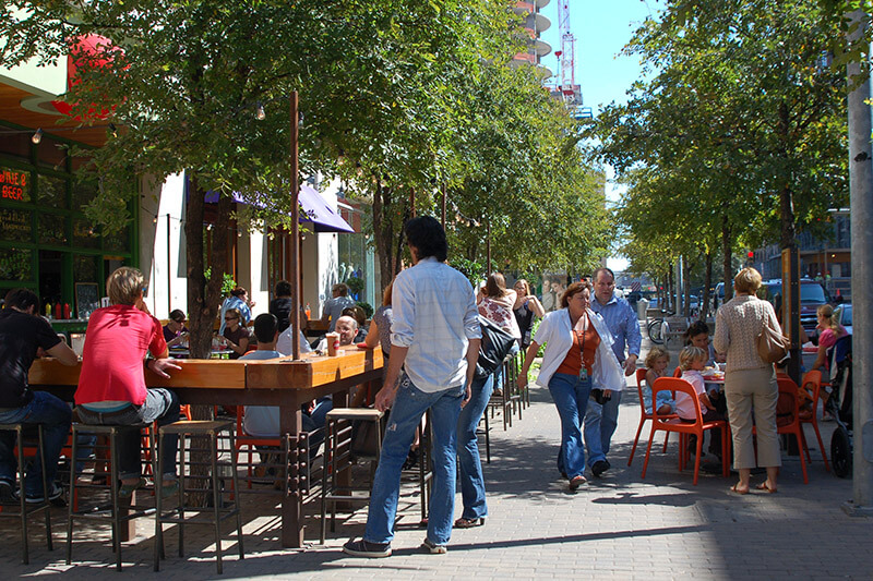
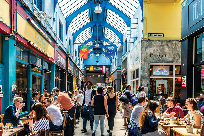
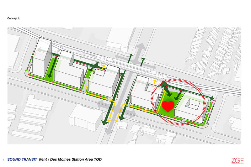
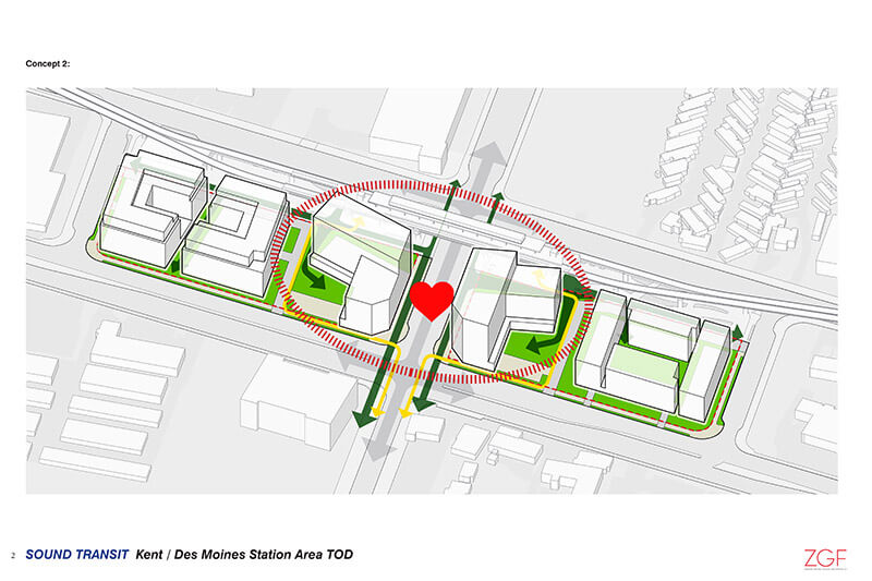
The first question of the survey focuses on where most site activity should take place. Or as the survey refers to it, the “heart” where things like retail, restaurants, and park space could be situated. Preferences on activities are tested by the question to better understand how people enjoy spending their time (e.g., shopping, sitting in a plaza, or going to a pop-up market).
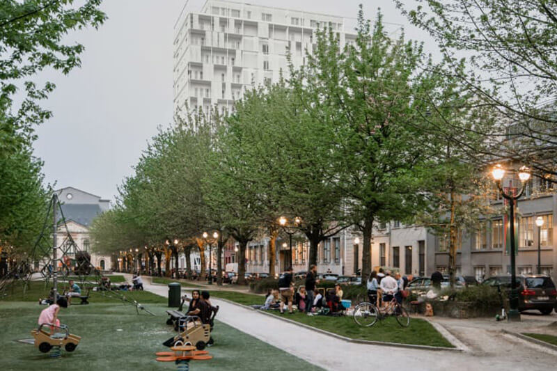
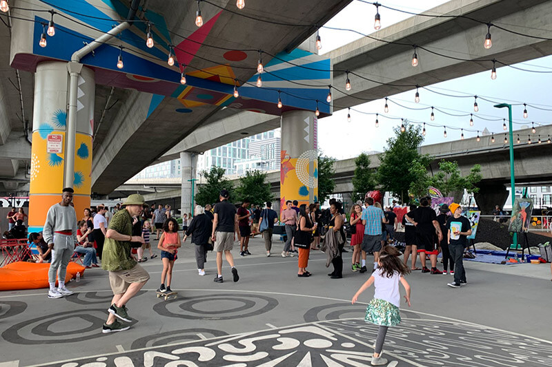
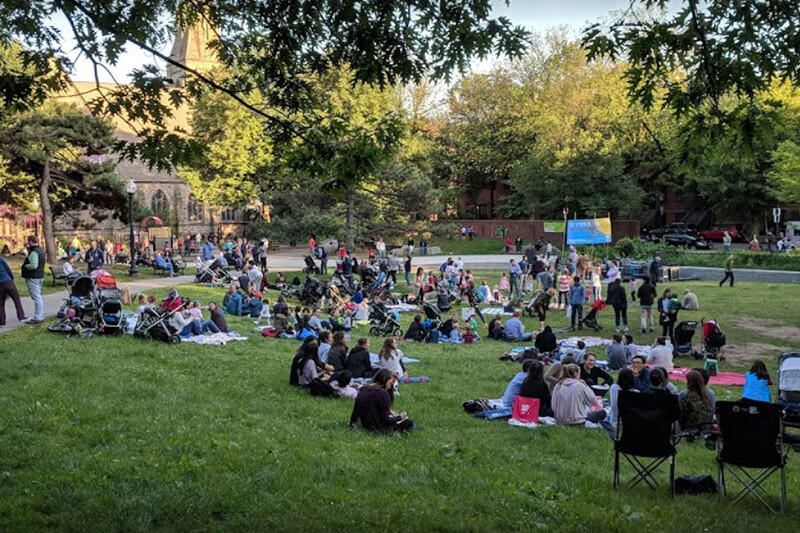
The second set of questions are focused on public spaces that will be spread throughout the sites. Questions test opinions on green space features and activities (e.g., grassy area to sit, playgrounds, and off-leash dog areas) and plaza area features and activities (e.g., public art, farmers’ markets, and seating areas).
The third set of questions focus on housing that should be prioritized for the sites. Sound Transit wants to provide a range of housing styles that are affordable to a variety of income levels. Opinions are tested on features for future residents (e.g., units with views, exposure to SR-99 noise, and stoops), size of units, and the balance housing and non-residential uses.
The fourth set of questions focus on the type of non-residential and community uses people want on the site. It test opinions on: whether or not people would frequently use restaurants, shops, and services; where people would like to access businesses and services (e.g., an indoor food hall or on street corners); and what types of community spaces people would want (e.g., childcare centers, recreation centers, or meeting spaces).
The fifth set of questions touches on how the sites should be organized since they’re long and narrow across two blocks. Sound Transit wants to better understand the priorities for public spaces (e.g., just one green space for residents and visitors or mini parks associated with buildings), building arrangement (e.g., larger but fewer buildings or a range of shapes and sizes), and where the primary activity center should be (e.g., near the station entrance or focused right on the main street).
Larger station area context
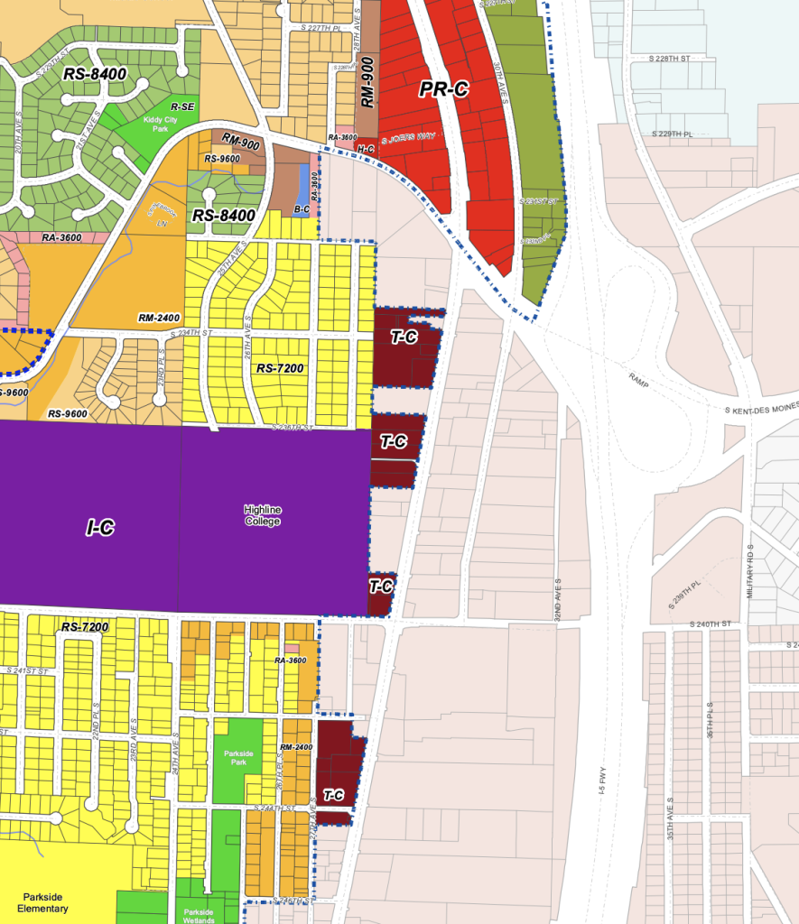
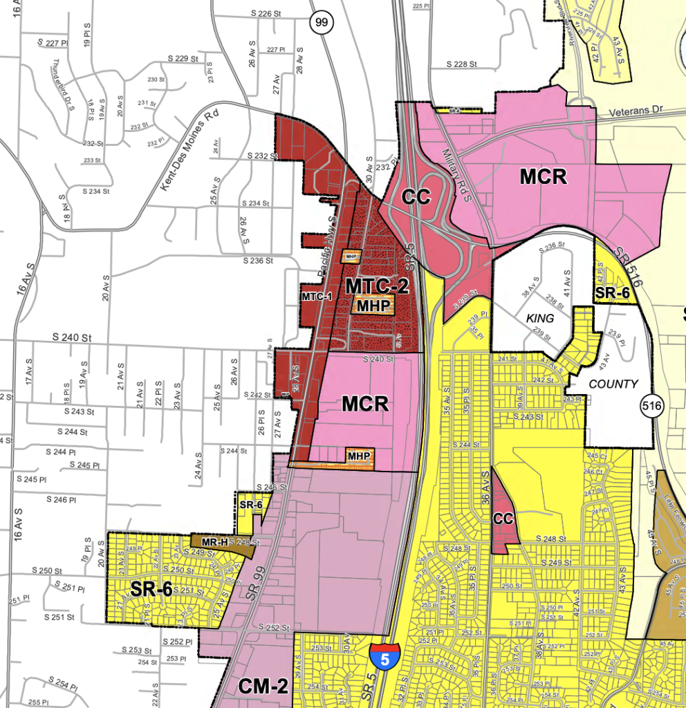
The larger station area lies within the jurisdictions of Kent and Des Moines. Those cities have jointly conducted planning in the area as part “Envision Midway” processes. North of Kent-Des Moines Road, Des Moines has zoned land as Pacific Ridge Commercial (PR-C) and Pacific Ridge Residential (PR-R). South of that street, the city has adopted some pockets of multifamily (RM-2400), mixed-use (T-C), and institutional (I-C). Kent has zoned land similarly with MTC-1, MTC-2, and MCR. The zones generally permit the following:
| Standards | PR-C | PR-R | RM-2400 | T-C | I-C |
| Permitted Uses | Generally, institutions, services, and multifamily | Generally, single-family, duplexes, townhouses, multifamily, offices, and services | Generally, single-family, duplexes, townhouses, and multifamily | Generally, institutions, services, and multifamily | Generally, institutions, education, services, and multifamily |
| Site Coverage Limit | None, but floor area ratios range from 2.8 to 9.0 depending on height | None, but floor area ratios range from 2.8 to 9.0 depending on height | 50% | None, but floor area ratios range from 2.8 to 6.5 depending on height | Governed by master plan |
| Setbacks | Front: None Side: None Rear: 15 feet, except in certain | Front: 15 feet, except in certain cases Side: 10 feet, except in certain cases Rear: 15 feet, except in certain | Front: 20 feet Side: 15 feet Rear: 20 feet | Front: None Side: None, except in certain cases Rear: None, except in certain cases | Governed by master plan |
| Height Limit | 200 feet to 75 feet | 200 feet to 55 feet | 35 feet | 100 feet to 75 feet | 85 feet to 65 feet |
| Density Limit | None | None | Generally, one unit per 2,400 square feet | None | Governed by master plan |
| Standards | MTC-1 | MTC-2 | MCR |
| Permitted Uses | Primarily townhouses, multifamily, office, services, and educational uses | Primarily townhouses, multifamily, office, services, and educational uses | Primarily townhouses, multifamily, office, services, and educational uses |
| Site Coverage Limit | 80% | 100% | 80% |
| Setbacks | Front: 20 feet Side: None Rear: None | Front: None Side: None Rear: None | Front: 20 feet Side: None Rear: None |
| Height Limit | 65 feet with exceptions | 200 feet with exceptions | 200 feet with exceptions |
| Density Limit | None | None | None |
Potential for redevelopment in the area is fairly good north of S 240th Street, but there are serious equity issues given the existence of low-income housing such as mobile home parks. South of S 240th Street, there are also challenges to redevelopment given the location of Lowe’s Home Improvement and unstable parcels of land from the former Midway Landfill.
The existence of SR-99 also acts a serious obstacle to areas west of the planned station, but there are efforts to make crossings more bearable. This will be especially important since many light rail passengers will probably be students attending Highline College to the west. Despite the barrier, it does seem that Des Moines has underzoned lands to the west, much of which is exclusionary single-family-only zoning within the station walkshed and bikeshed. The same could be said about Kent east of I-5, though a pedestrian and bike crossing would be necessary to make that more feasible.
What’s ahead
In 2024, the Federal Link Extension is expected to open and with it the Kent/Des Moines Station. The 1 Line will serve the station, running between Federal Way and Seattle and even Lynnwood, depending upon when that extension opens.
Sound Transit held a virtual open house on November 3rd, which will included a presentation and question and answer session. But there’s still time to participate in this outreach phase. Through November 15th, the agency is hosting an online open house where community can provide feedback through an online survey. A project update is expected to then come early next year.
Stephen is a professional urban planner in Puget Sound with a passion for sustainable, livable, and diverse cities. He is especially interested in how policies, regulations, and programs can promote positive outcomes for communities. With stints in great cities like Bellingham and Cork, Stephen currently lives in Seattle. He primarily covers land use and transportation issues and has been with The Urbanist since 2014.


