Now that Bertha is fully repaired, beefed up, and churning away in earnest, it’s becoming easier to contemplate the demise of the Viaduct. And with it, the creation of a vibrant new civic asset: Seattle’s waterfront. There’s no doubt that significant time and effort has already been invested in the waterfront design, under the auspices of Waterfront Seattle. Their vision is one that attracts locals and tourists alike while maintaining the corridor’s value as an efficiently functioning component of the city’s infrastructure.
As we approach the waterfront’s transition at the end of this decade, the process of finalizing that vision is taking hold. Outstanding issues include those you’d expect to have in such a project, notably roadway width and its resulting effect on transit prioritization, freight mobility, and public access. Against this background, it’s surprising that Western Ave is not included in the redevelopment plans. This underutilized infrastructure asset parallels the waterfront renewal zone from Yesler Way to Battery Street, presenting an intriguing opportunity to alleviate the challenges facing the project and further enhance the character of the waterfront community.
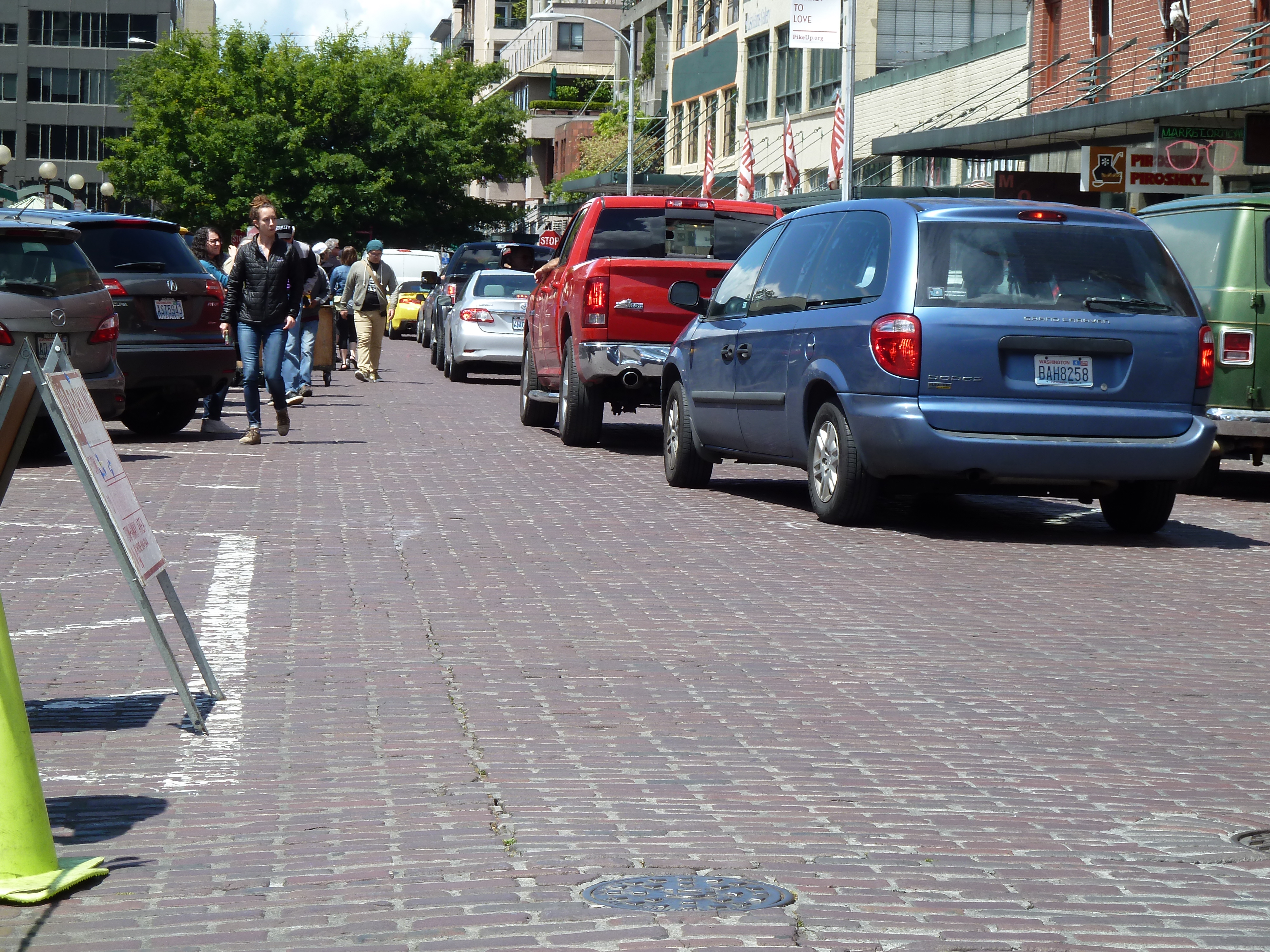
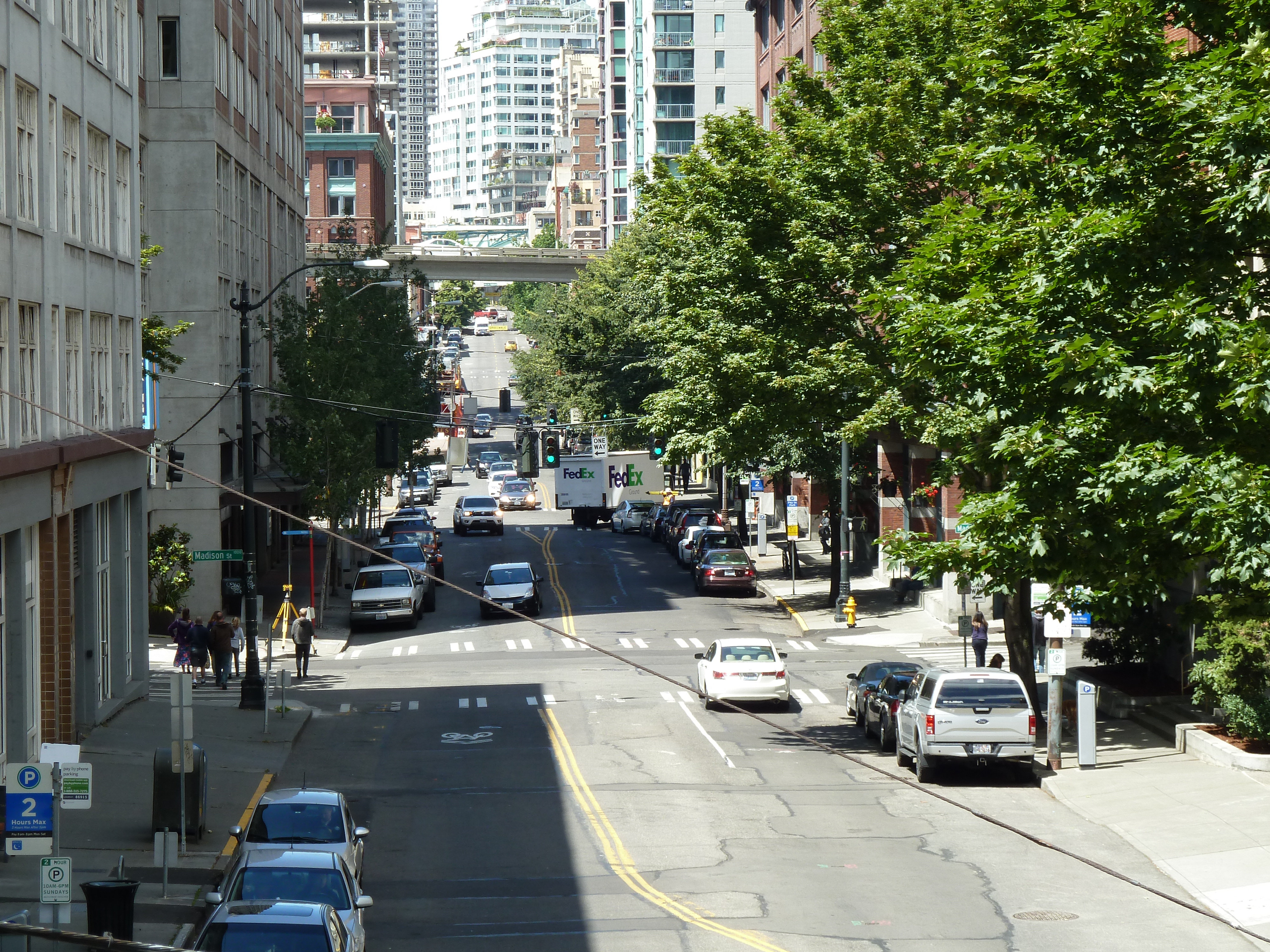
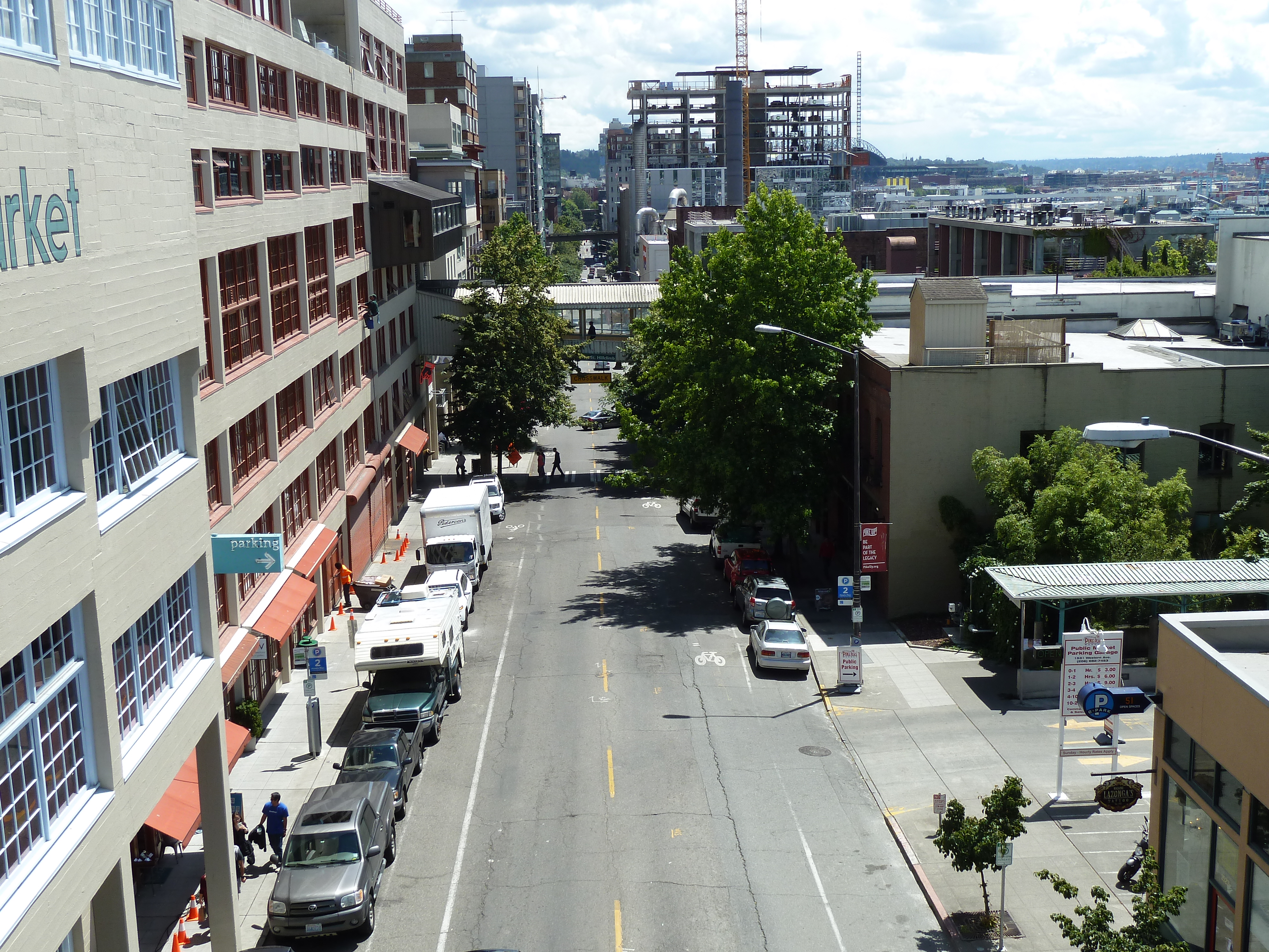
Modernizing Western to be utilized as a one-way northbound arterial would maintain traffic flows while reducing the need for lanes on, and overall footprint of, Alaskan Way. Western’s width appears sufficient to facilitate at least three traffic lanes for the length of the corridor. The arterial would make a natural connection to the existing one-way Western Ave arterial north of Lenora Street.
The slimmed down southbound arterial would include Elliott Ave from Blanchard Street, down the slope to its intersection with Alaskan Way at the waterfront, the so called mini-viaduct. It’s safe to assume that the mini-viaduct is the most expensive single component of the planned waterfront roadway. Narrowing it would undoubtedly reduce its cost greatly (and, presumably, the cost of the Overlook Walk immediately to the south). A narrower mini-viaduct allows for the creation of a buffer between the roadway and local residences, alleviating noise and traffic concerns of those in the community.
Transit access and speed are major priorities throughout the city and a current point of contention in waterfront planning. A curb lane, both northbound on Western and southbound on Elliott/Alaskan, could be utilized for transit during peak hours and parking at off-peak times, satisfying all parties. Access to Colman Dock from northbound Alaskan Way would be undiminished; it would simply be realigned within the smaller roadway footprint beginning at Yesler.

Access to waterfront attractions, and the pedestrian experience overall, would be greatly enhanced by a narrower Alaskan Way. Vehicle access to the waterfront would not be diminished, as close proximity and multiple intersecting streets would allow easy access for northbound drivers to reach southbound Alaskan Way and the waterfront’s numerous attractions, and vice versa. Those attractions could benefit from added parking available on Alaskan Way in what would otherwise have been northbound lanes. And of course, there’d be significantly more open space to accommodate pedestrians and cyclists, creating a more attractive and vibrant waterfront.
So where are the logistical impediments? The most significant is that Western Ave and Alaskan Way don’t actually intersect on the waterfront. That is, there’s no direct connection to funnel northbound traffic onto Western Ave, since it ends at Yesler, roughly 150 feet from Alaskan Way. A narrow alley that follows Western Ave’s alignment at its southern terminus speaks to a direct connection during a bygone era on the waterfront, but is likely insufficient to accommodate modern transportation needs. Absent the controversial use of eminent domain to secure a more direct path, access would have to be made via a dog-leg right turn onto Yesler and an immediate dog-leg left onto Western. Hardly ideal, but manageable with proper engineering and not an unreasonable tradeoff in exchange for the litany of benefits elsewhere on the waterfront.

Another potential logistical hurdle exists at the opposite end of Western, where it intersects Virginia Street and Pike Place, the point where multitudes of pedestrians daily cross from Pike Place Market to take in the sweeping vistas from Steinbreuck Park. This challenge seems manageable through the creation of a plaza allowing pedestrian crossing in all directions via pedestrian-friendly signaling, similar to that at the Market’s First and Pike entrance. Traffic flows can further be enhanced by limiting Pike Place to commercial vehicles making deliveries to the Market, a boon to merchants and visitors alike which would create an even more enjoyable waterfront experience.
Today, Western Avenue is drastically underutilized. The current waterfront plans would do little to change that. In addition to the waterfront redevelopment on one side of Western, the City Center Connector streetcar is set to drastically reduce traffic lanes on First Avenue, one block east of Western. As Seattle grows rapidly and dynamically, we need to take strides to ensure that we maximize our existing infrastructure in order to create the a truly livable urban environment. Improving Western Avenue and incorporating it more holistically into the traffic grid, whether as I’ve suggested or otherwise, seems a logical step to achieving that goal.
David Hehyawi local businessperson who has lived in the Seattle area for more than 15 years. Now residing in Belltown, he has a become increasingly interested in the rapid redevelopment of Seattle’s urban landscape and the opportunities it presents.


