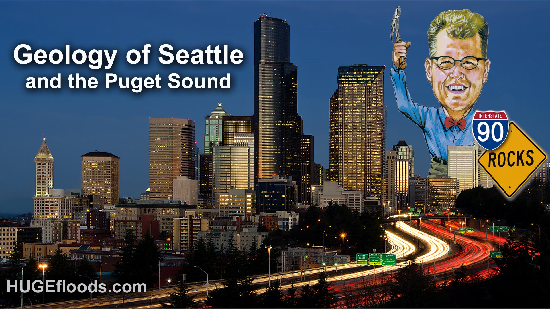
How did the unique landscape of the Puget Sound region come to be? Nick Zentner of Central Washington University has the answers in this short video, which uses graphics and on-site narration to explore the grinding cycles of rock and ice that have shaped the western lowlands of Washington state over thousands of years. Seattle was once covered by a glacier that was 3,000 feet thick and which is responsible for the city’s many north-south hills that make east-west travel difficult today.
He also details how Seattle itself was shaped by human hands early on by cutting hills and filling in 3,000 acres of mud flats. “Interstate 5, that runs along the base of Beacon Hill, traces the original saltwater shoreline,” Zenter explains. “Hills flattened, rivers rerouted, shorelines extended: Seattle is one of the most dramatically engineered cities in the country”.
Zenter also covers the history and future of earthquakes, volcanic activity, and landslides.
Scott Bonjukian has degrees in architecture and planning, and his many interests include neighborhood design, public space and streets, transit systems, pedestrian and bicycle planning, local politics, and natural resource protection. He cross-posts from The Northwest Urbanist and leads the Seattle Lid I-5 effort. He served on The Urbanist board from 2015 to 2018.


