

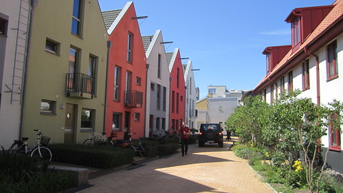
Residential, woonerf. Attributed to: La Citta Vita – license – original
Over the past few years, the southern section of Manhattan’s Broadway has steadily transformed from a major vehicle arterial into a “complete street” and pedestrian boulevard. Instead of a “car sewer”, Broadway is now an inviting thoroughfare for walkers and cyclists, and a destination for shoppers, diners, and tourists.
The changes have also improved mobility, even for drivers. It may seem odd that removing traffic lanes could make driving easier. But as the article says:
In pursuing a policy that discourages automobiles from using the street, traffic planners see themselves as issuing a corrective to history: They say the diagonal of Broadway should never have been allowed to cut a path across the orderly right angles of the Midtown street grid. The resulting three-way intersections can slow down cars and tie up the broader system.
Like New York’s Broadway, Madison Street cuts across the grid, creating difficult traffic patterns and an inhospitable environment for pedestrians. When Madison Street was first laid out, it played a vital role in regional connectivity. A cable car ran the length of the street, and ferries waited at the other end to take passengers across Lake Washington. Today, Madison Park is a quiet residential neighborhood, and cars and buses travel across Lake Washington along two wide freeways. In addition, the Pike/Pine corridor has experienced a renaissance, becoming one of the most vibrant (and expensive!) parts of the city. And yet, Madison continues to carry four lanes of fast-moving traffic, cutting through the south end of Capitol Hill in the process.
We have a unique opportunity to reshape the southern end of Capitol Hill. By changing the role and layout of Madison Street, we can create a better environment for pedestrians, cyclists, and transit users. And we can do this while simultaneously improving mobility for drivers (or at least not harming it).
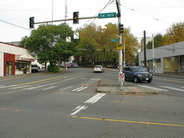
14th and Madison. Attributed to: Rob Ketcherside – license – original
The problem
Madison Street breaks the grid. Between Broadway and 16th Ave, Madison has 10 intersections; Pine only has 6.
Intersection density is great for people. It’s not so great when vehicles enter the picture. Each of those 10 intersections is an opportunity for a bus to be slowed down by a left-turning vehicle or a traffic light. In addition, Madison Street’s intersections tend to be large and complicated, which makes them difficult to navigate on foot. A pedestrian walking from Pine to Union along 13th Ave needs to cross four intersections, and Madison will be the toughest.
Because Madison is designed primarily for cars, it’s not a street that people cross frequently. In planning terminology, Madison has poor permeability. It can be crossed (unlike Aurora or I-5), but its width and speed make crossings more difficult than they could be. For this reason, Madison serves as the de facto boundary between several neighborhoods: the higher-income Capitol Hill on one side, and the lower-income Central District on the other. (You can see where Madison Street is just by looking at a map of racial diversity.) Between 12th and 16th, Madison plays two roles: it carries traffic to downtown and the First Hill hospitals, but it is also home to many pedestrian-oriented businesses, as you would expect from a street that runs between Pike and Pine.
To summarize:
- Madison Street is too wide, and carries too much vehicle traffic, for the pedestrian-oriented Pike/Pine corridor.
- Madison Street’s complicated intersections are difficult for people to cross, and they delay cars and buses.
The proposal
16th through 24th: Road diet
The section of Madison Street between 16th and 24th is a perfect candidate for a “road diet”. Currently, Madison has two travel lanes in each direction, plus sporadic street parking. A reconfigured Madison street would have one travel lane in each direction, a center turn lane, and significantly wider sidewalks, with street parking punctuated by bus bulbs. (Bicycle lanes wouldn’t be appropriate for such a steep street.) Reducing the number of travel lanes would slow down traffic, which would reduce collisions and make the street easier to cross. Madison has a huge number of intersections, and a turn lane would keep general traffic moving. Bus bulbs would ensure that buses aren’t delayed by difficulty reentering traffic.
In short, a road diet would make Madison safer and more permeable. Some traffic would switch to the nearby arterials (especially John/Thomas and Union), but that’s expected. There are lots of alternate routes for drivers.
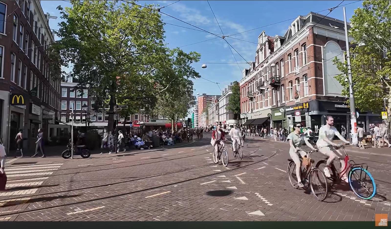
12th through 16th: Madison Street Park
From 12th through 16th, Madison Street would be recreated as a “woonerf”: a street where people have the right-of-way over vehicles. Instead of narrow sidewalks, the whole street would be designed for pedestrians and cyclists. The Bell Street Park illustrates what this section of Madison Street might look like.
Compared to Bell Street, there is a unique opportunity on these blocks of Madison. Several of the nearby blocks are severely underutilized. For example, to the north between 13th and 14th, there is a single-story Bank of America, and a surface parking lot. Potentially, some of Madison’s wide right-of-way can be vacated, and given or sold to a private developer in exchange for neighborhood improvements (e.g. affordable housing). These larger parcels might be more attractive to a developer than the tiny ones that are currently available.
Minor Changes
Several intersections between Madison and other arterials would be reconfigured to remove arterial traffic from Madison Street Park, and to improve transit operations. Metro Routes 2 and 12 would be rerouted to take advantage of the new configuration.
What Doesn’t Change
West of 12th, Madison functions as part of the downtown/First Hill street grid. It’s also an important access point for Virginia Mason and Swedish Medical Center. East of 24th, Madison is the sole arterial (and main commercial corridor) for Madison Valley and Madison Park. There are no alternative routes for cars or people. No changes to either of these segments are needed.
The precedent
Here in Seattle, a similar effort is already underway. Broad Street starts in Belltown and just keeps going, creating several awkward intersections and hostile overpasses near Seattle Center and South Lake Union. The Mercer West and Alaskan Way Viaduct projects will remove Broad Street, and recreate the street grid where Broad Street used to be. Like Madison, Broad carries a lot of traffic, all of which will be diverted to other nearby arterials.
The Seattle Department of Transportation has successfully implemented “road diets” on many streets throughout Seattle. Road diets reconfigure streets to reduce top speeds, improve safety, and minimize delays. While some road diets have attracted controversy, they have all been very successful at reducing collisions, and none have been reverted.
Seattle Parks and Recreation has transformed four blocks of Bell Street into Bell Street Park. Instead of relegating people to narrow sidewalks, the street/park’s design encourages pedestrians to use the full right-of-way. The street is still usable by cars and buses, but it’s clear from the design that people come first.
The end result
It’s still possible for a vehicle (e.g. an ambulance) to travel down the length of Madison Street. But arterial traffic will be diverted, ensuring that the only vehicles on Madison between 12th and 16th are vehicles that really need to be there.
In return, Capitol Hill gets to replace a car-centered arterial with a human-centered boulevard. Instead of being a burden, Madison will become a delight. It will be a safer and more vibrant street at all times of day.
This change would be radical, but like the Broadway and Broad Street changes, it has the potential to reshape Seattle for the better. If we’re willing to dig a $2 billion tunnel underneath the waterfront for the sake of six lanes of through traffic, we should be open to the idea of spending a much smaller amount of money for the sake of our whole city.


